

Contact Us
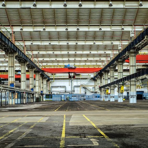
Point Cloud Survey Services
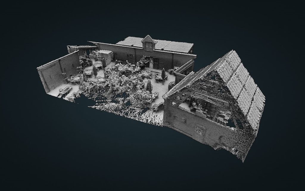
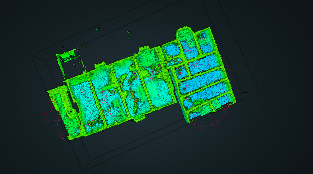
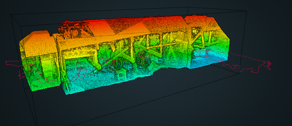
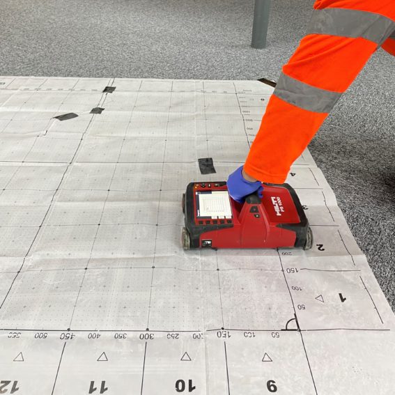
We operate a GeoSLAM Zeb Revo laser point cloud scanner which allows us to quickly take accurate dimensioned 3d surveys internally.
From air raid shelters to auditoriums, the benefits of being able to rapidly map a live space cannot be understated. The point cloud scanner has been used successfully to ascertain party wall thicknesses, interactions of structural elements between rooms and confirm the extent of basements.
The 3d pointclouds can be immediately viewed and so is effectively real-time. The model can be spliced to help better understand the spatial relationship of structural members, rooms/vaults, for example.
The software also allows quick 2d plan and section views. These views can incorporate as much or as little of the scan data as desired. In turn, this can allow quick production of floorplans. These floorplans can be interrogated in the GeoSLAM software or exported as scaled CAD or PDF files.
We can share model files in a number of file formats, from a GEOSLAM file, .laz, Autodesk ReCAP or autocad file. Contact us today to discuss your requirements.
What Our Clients Say
"Vision Survey have worked with Soiltechnics for several years, initially forging a strong working relationship with their Manchester office, which has since expanded to include our respective southern offices. We appreciate their excellent professional conduct, their collaborative working approach and ultimately, in knowing that we can rely on them to meet our requirements."
Nathan Pickering, Regional Operations Lead – Vision Survey
"Soiltechnics have provided a range of soil reports, ground investigation surveys, remediation strategies and verification reports for parks and open space improvement projects in Southwark. They have also provided clear and concise expert advise on ground/soil related issues which have occurred during construction phase. Soiltechnics are a valued, reliable consultant we will continue to approach for similar schemes.”
Matthew Hill, Project Manager – Southwark Council
"Fabric Surveys were excellent from day one. The team on site were professional, knowledgeable, pro-active, and extremely efficient. The information was collated very quickly, and a high-quality report was issued much to the satisfaction of our client."
Adrian Kennedy, Contracts Manager – Deconstruckt UK


Get in touch with us
We work with clients of all sizes, from developers, building contractors, private companies, local authorities and individuals, on a wide variety of projects spanning major infrastructure, commercial, residential, educational, land development and restoration.